H&R Design will use state of the art laser scanners to measure a building or an area of your building to record millions of points that hold the X, Y & Z dimensions of your space. These points can be registered to make a Point-Cloud – an exact copy of the building.
What is Point-Cloud?
A Point-Cloud is the alignment of the 3 dimensional points – when opened in a viewer you can see a digital copy of the space. Fly throughs – Perspectives – Plans – Sections
Why would you need a point cloud of your building or space?
To have an exact ‘As Built’ of your space. The point cloud is a 3 dimensional ‘As Built’ of your space.
The Point-Cloud can be used for a background of new designs.
Point-Clouds can be used by Contractors to understand existing conditions and prepare estimates.
During construction scans can capture point-in-time information – locations of mechanical and structural elements to compare with design documents.
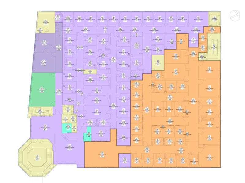
Importantly, the Point-Cloud can be used as the background for 2D drawings and BIM models.
Contact
Interested in a project or seeing more of our portfolio? Please contact us to schedule a consultation.